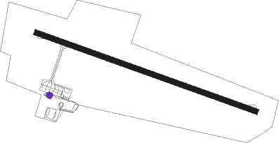
Île Des Pins - Moue
Airport details
| Country | France |
| State | [Other] |
| Region | NW |
| Municipality | Isle of Pines |
| Elevation | 312ft (95m) |
| Timezone | GMT +11 |
| Coordinates | -22.58861, 167.45528 |
| Magnetic var | |
| Type | land |
| Available since | X-Plane v10.40 |
| ICAO code | NWWE |
| IATA code | ILP |
| FAA code | n/a |
Communication
| Moue MOUE UNIC | 124.000 |
| Moue DES PINS IS Tower | 118.900 |
| Moue TONTOUTA Approach | 128.300 |
Nearby beacons
| code | identifier | dist | bearing | frequency |
|---|---|---|---|---|
| IP | ILE DES PINS NDB | 0.2 | 252° | 332 |
| MD | MAGENTA (NOUMEA) NDB | 55.2 | 276° | 383 |
| MGA | OUERE (NOUMEA) VOR/DME | 56.9 | 286° | 113 |
| MG | MAGENTA (NOUMEA) NDB | 57.7 | 288° | 394 |
Instrument approach procedures
| runway | airway (heading) | route (dist, bearing) |
|---|---|---|
| RW10 | WE901 (139°) | WE901 3000ft IWE10 (5mi, 206°) 2000ft |
| RW10 | WE903 (113°) | WE903 3000ft IWE10 (5mi, 113°) 2000ft |
| RNAV | IWE10 2000ft FWE10 (4mi, 113°) 2000ft NWWE (5mi, 113°) 365ft (9268mi, 278°) 1200ft WE911 (9273mi, 98°) 3000ft WE901 (9mi, 293°) 3000ft | |
| RW28 | WE904 (267°) | WE904 3000ft IWE28 (5mi, 206°) 2000ft |
| RNAV | IWE28 2000ft FWE28 (4mi, 293°) 2000ft NWWE (5mi, 293°) 332ft (9268mi, 278°) 1200ft WE910 (9273mi, 98°) WE904 (9mi, 112°) 3000ft |
Disclaimer
The information on this website is not for real aviation. Use this data with the X-Plane flight simulator only! Data taken with kind consent from X-Plane 12 source code and data files. Content is subject to change without notice.